Alternate A14 · Northeast
Lackawanna Lake
Lackawanna County · Northeast region · 198 acres
Quiet Water Checked Oct 2026
- Size
- 198 acres as listed by the state park's boating page
- Boat traffic
- Quiet water: paddle craft and electric-motor boats only. As listed by the state park's boating page, checked Oct 2026.
- Permit
- PA boat registration or a PFBC/State Parks launch permit is required to launch here. Paddling rules →
- Dam
- This lake is held back by a dam. Stay well away from the dam, spillway and outlet structures.
Where to put in
Bullhead Bay access area
Ramp · ramp
41.57594, -75.70631 (about ±50 m)
Parking: Fewer than 10 spaces
PA boat registration or a PFBC/State Parks launch permit is required to launch here.
South Shore access area
Ramp · paved ramp
41.55446, -75.70575 (about ±50 m)
Parking: Roadside Parking (No Lot)
PA boat registration or a PFBC/State Parks launch permit is required to launch here.
Warming Hut access area
Ramp · paved ramp, pier, dock
41.56390, -75.70839 (about ±50 m)
Parking: Roadside Parking (No Lot)
PA boat registration or a PFBC/State Parks launch permit is required to launch here.
Access notices
Lake drawn down for dam rehabilitation from Sep 8, 2026. DCNR expects the work to end by late January 2027 and the lake to refill in spring.
Access notice from a DCNR news release, published Sep 1, 2026.
About Lackawanna Lake
Alternate A14 is Lackawanna Lake, a 198-acre reservoir in Lackawanna County (Northeast region). The acreage comes from the state park's boating page. Only paddle craft and electric-motor boats may use it, so it counts as Quiet Water. That rule is as listed by the state park's boating page. We list three put-ins, including Bullhead Bay access area, South Shore access area and Warming Hut access area. Bullhead Bay access area has a launch ramp and parking listed as fewer than 10 spaces. At Fish and Boat Commission and state park launches your boat needs a Pennsylvania registration or a PFBC or State Parks launch permit. A dam holds the water back, so keep well away from the dam, the spillway and any outlet structures. It is an alternate this season because of a dated closure or drawdown notice, so read the notice box before you plan a trip. It counts toward the Northeast region milestone. As the crow flies, the closest put-in is about 11 miles from Scranton. Check the operator's notices, the weather and posted signs before you launch.
Rules for paddlers
Pennsylvania's paddler rules (permits, life jackets, whistle and light) are on one dated page. Paddling rules →
Safety
Paddling has real risks. Wear your life jacket. Pennsylvania requires it to be worn on canoes, kayaks and paddleboards from Nov 1 through Apr 30, and by children 12 and under all year. Check the weather, posted signs and the operator's notices before you launch. Stay well away from dams, spillways and outlet structures. You paddle at your own risk.
Nearby on the list
Straight-line distance between the lakes, not driving distance.
Questions about Lackawanna Lake
Where do I put in at Lackawanna Lake?
Lackawanna Lake has three listed put-ins: Bullhead Bay access area, South Shore access area, Warming Hut access area. Bullhead Bay access area is at 41.57594, -75.70631 with ramp; parking: Fewer than 10 spaces.
Are motorboats allowed on Lackawanna Lake?
Quiet water: paddle craft and electric-motor boats only. As listed by the state park's boating page, checked Oct 2026.
Do I need a launch permit at Lackawanna Lake?
Yes, at the state park launch: a Pennsylvania boat registration or a PFBC or State Parks launch permit is required.
Source: PFBC, “Registration vs. Launch Permit”, checked 4 Oct 2026.
How big is Lackawanna Lake?
198 acres, as listed by the state park's boating page.
Is there a notice for Lackawanna Lake?
Lake drawn down for dam rehabilitation from Sep 8, 2026. DCNR expects the work to end by late January 2027 and the lake to refill in spring. Source: a DCNR news release, published Sep 1, 2026.
Sources
- DCNR park boating page — checked Oct 4, 2026
- USACE National Inventory of Dams (Lackawanna, PA00913) — checked Oct 4, 2026
- Fish and Boat Commission access map — checked Oct 4, 2026
- Access notice source — checked Sep 1, 2026
- USGS National Hydrography Dataset — checked Oct 4, 2026
Every fact on this page comes from these public sources. Posted signs and official notices always control.
Share this lake
Download the lake card (1080×1350)
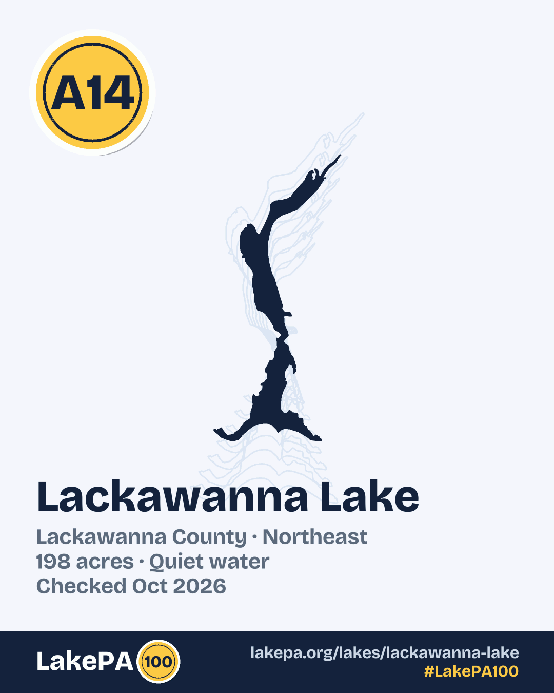
For your post or story. #LakePA100