- Size
- 3,225 acres as listed by DCNR's Where to Boat table
- Boat traffic
- Some motorboats: gas motors allowed with a size limit. As listed by 58 Pa. Code § 111.10, checked Oct 2026.
- Permit
- PA boat registration or a PFBC/State Parks launch permit is required to launch here. Paddling rules →
- Dam
- This lake is held back by a dam. Stay well away from the dam, spillway and outlet structures.
Where to put in
528 access area
Ramp · paved ramp, dock
40.95206, -80.04143 (about ±50 m)
Parking: 10 spaces or more
PA boat registration or a PFBC/State Parks launch permit is required to launch here.
Bear Run access area
Ramp · paved ramp, pier, dock
40.94787, -80.10753 (about ±50 m)
Parking: 10 spaces or more
PA boat registration or a PFBC/State Parks launch permit is required to launch here.
Big Run access area
Ramp · ramp
40.92245, -80.07943 (about ±50 m)
Parking: Fewer than 10 spaces
PA boat registration or a PFBC/State Parks launch permit is required to launch here.
Burton Road access area
Ramp · ramp
40.96939, -80.02314 (about ±50 m)
Parking: Fewer than 10 spaces
PA boat registration or a PFBC/State Parks launch permit is required to launch here.
Church access area
Ramp · paved ramp, dock
40.94700, -80.04069 (about ±50 m)
Parking: 10 spaces or more
PA boat registration or a PFBC/State Parks launch permit is required to launch here.
Davis Hollow Boat Launch
Ramp · paved ramp, dock
40.95851, -80.07122 (about ±50 m)
Parking: 10 spaces or more
PA boat registration or a PFBC/State Parks launch permit is required to launch here.
Show all 16 put-ins
Davis Hollow Marina
Ramp · paved ramp, dock
40.96014, -80.06910 (about ±50 m)
Parking: 10 spaces or more
PA boat registration or a PFBC/State Parks launch permit is required to launch here.
McDanels access area
Ramp · paved ramp, pier, dock
40.96678, -80.12473 (about ±50 m)
Parking: 10 spaces or more
PA boat registration or a PFBC/State Parks launch permit is required to launch here.
Nealy's Point access area
Ramp · ramp
40.95341, -80.08210 (about ±50 m)
Parking: 10 spaces or more
PA boat registration or a PFBC/State Parks launch permit is required to launch here.
Old Route 422 access area
Ramp · paved ramp, pier, dock
40.92350, -80.06879 (about ±50 m)
Parking: 10 spaces or more
PA boat registration or a PFBC/State Parks launch permit is required to launch here.
Pleasant Valley access area
Ramp · paved ramp, dock
40.94214, -80.08677 (about ±50 m)
Parking: 10 spaces or more
PA boat registration or a PFBC/State Parks launch permit is required to launch here.
Portersville Bay access area
Ramp · ramp, dock
40.93937, -80.12684 (about ±50 m)
Parking: 10 spaces or more
PA boat registration or a PFBC/State Parks launch permit is required to launch here.
Shannon Run access area
Ramp · ramp
40.94619, -80.03914 (about ±50 m)
Parking: Fewer than 10 spaces
PA boat registration or a PFBC/State Parks launch permit is required to launch here.
Upper 528 access area
Ramp · paved ramp, dock
40.96309, -80.03218 (about ±50 m)
Parking: 10 spaces or more
PA boat registration or a PFBC/State Parks launch permit is required to launch here.
Watt's Bay access area
Ramp · paved ramp, dock
40.96159, -80.10040 (about ±50 m)
Parking: 10 spaces or more
PA boat registration or a PFBC/State Parks launch permit is required to launch here.
Moraine State Park launch
Ramp
Launch point from DCNR's state park map data.
40.94058, -80.09115 (about ±50 m)
PA boat registration or a PFBC/State Parks launch permit is required to launch here.
Access notices
No access notice on file (we last checked Oct 4, 2026). Check Moraine State Park alerts (DCNR) before you go.
About Lake Arthur
Lake Arthur is number 6 on the LakePA 100: a 3,225-acre reservoir in Butler County, in our Northwest region. That acreage is the figure given by DCNR's Where to Boat table. At a thousand acres or more it is Big Water, so plan for wind and long crossings. Gas motors are allowed with a size limit, so expect some motorboats. (Boat rules as listed by the county boating rules in 58 Pa. Code § 111.10.) There are sixteen put-ins on our list for this lake, among them 528 access area, Bear Run access area and Big Run access area. 528 access area has a paved ramp, a dock and parking listed as 10 spaces or more. Launching at a Fish and Boat Commission or state park site requires a Pennsylvania boat registration or a PFBC or State Parks launch permit. A dam holds the water back, so keep well away from the dam, the spillway and any outlet structures. Logging it moves you toward the Northwest region milestone. In a straight line, it is about 29 miles from Youngstown to the nearest put-in. Before you go, check posted signs, the weather and the operator's notices.
Rules for paddlers
Pennsylvania's paddler rules (permits, life jackets, whistle and light) are on one dated page. Paddling rules →
Safety
Paddling has real risks. Wear your life jacket. Pennsylvania requires it to be worn on canoes, kayaks and paddleboards from Nov 1 through Apr 30, and by children 12 and under all year. Check the weather, posted signs and the operator's notices before you launch. Stay well away from dams, spillways and outlet structures. You paddle at your own risk.
Nearby on the list
Straight-line distance between the lakes, not driving distance.
Questions about Lake Arthur
Where do I put in at Lake Arthur?
Lake Arthur has 16 listed put-ins: 528 access area, Bear Run access area, Big Run access area, Burton Road access area and 12 more. 528 access area is at 40.95206, -80.04143 with paved ramp, dock; parking: 10 spaces or more.
Are motorboats allowed on Lake Arthur?
Some motorboats: gas motors allowed with a size limit. As listed by 58 Pa. Code § 111.10, checked Oct 2026.
Do I need a launch permit at Lake Arthur?
Yes, at the state park launch: a Pennsylvania boat registration or a PFBC or State Parks launch permit is required.
Source: PFBC, “Registration vs. Launch Permit”, checked 4 Oct 2026.
How big is Lake Arthur?
3,225 acres, as listed by DCNR's Where to Boat table.
Sources
- DCNR Where to Boat in State Parks — checked Oct 4, 2026
- 58 Pa. Code § 111.10 (Butler County) — checked Oct 4, 2026
- USACE National Inventory of Dams (Moraine State Park, PA00273) — checked Oct 4, 2026
- Fish and Boat Commission access map — checked Oct 4, 2026
- DCNR State Parks GIS (park boat launches) — checked Oct 4, 2026
- USGS National Hydrography Dataset — checked Oct 4, 2026
Every fact on this page comes from these public sources. Posted signs and official notices always control.
Share this lake
Download the lake card (1080×1350)
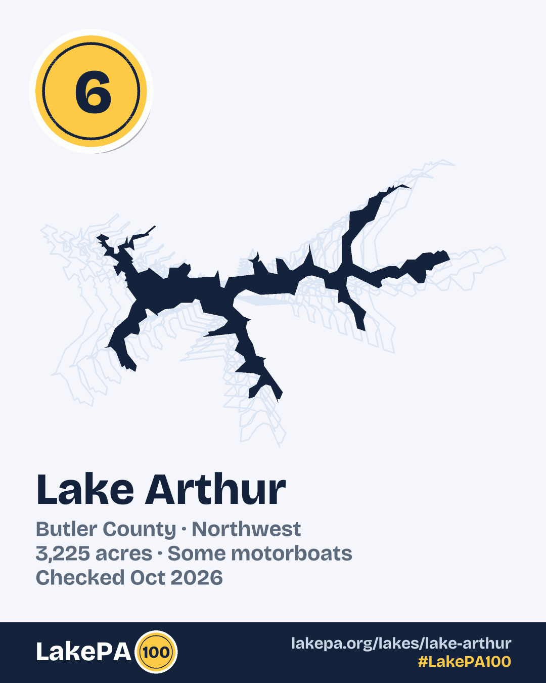
For your post or story. #LakePA100